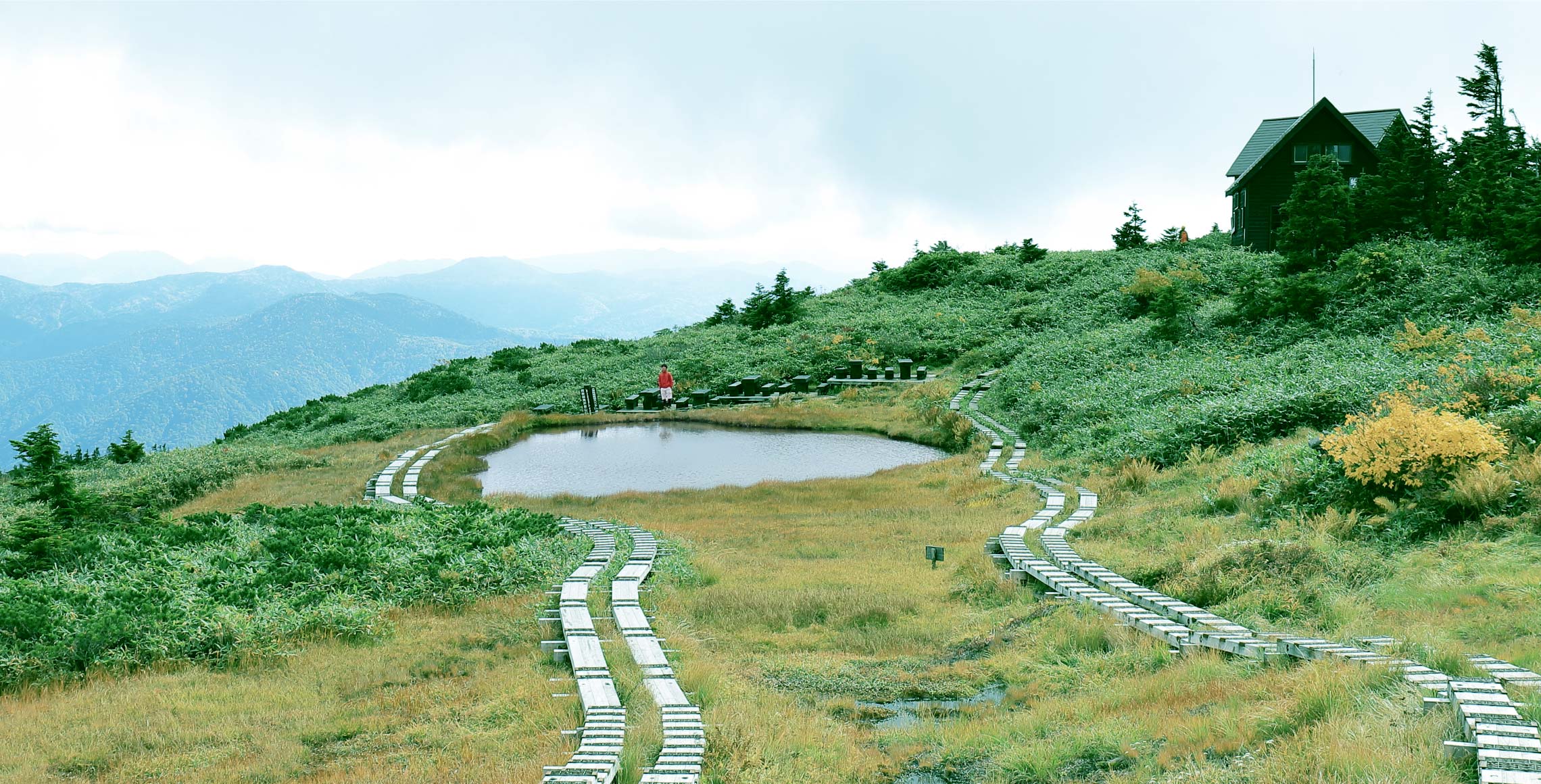

In regards to Mt. Aizukoma, Kyuya Fukada said, "Of the many summits I've gone to, this was one of the finest". The course includes a round trip from Komanoike to Mt. Chumon and a return trip along the Fujimi-rindo Trail. Visitors can enjoy the splendid ridgelines, which are famous as one of the 100 most beautiful mountains in Japan.
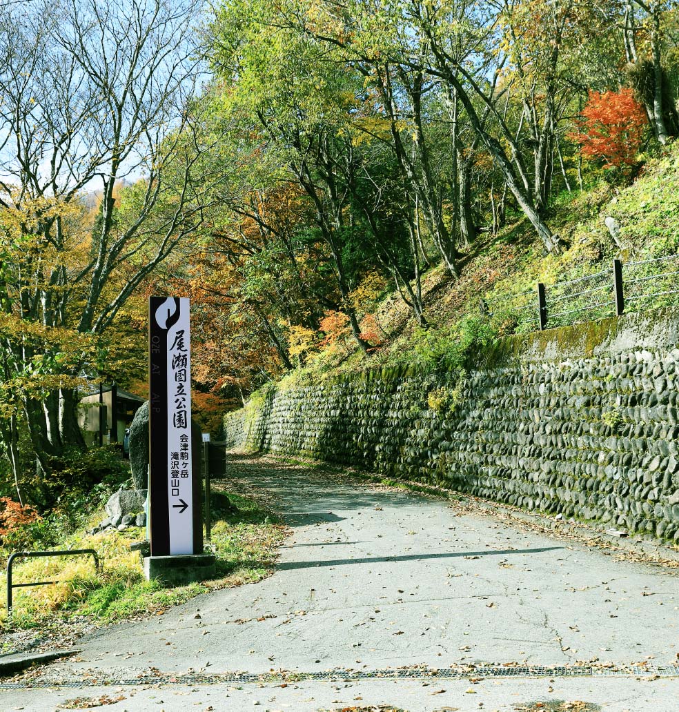
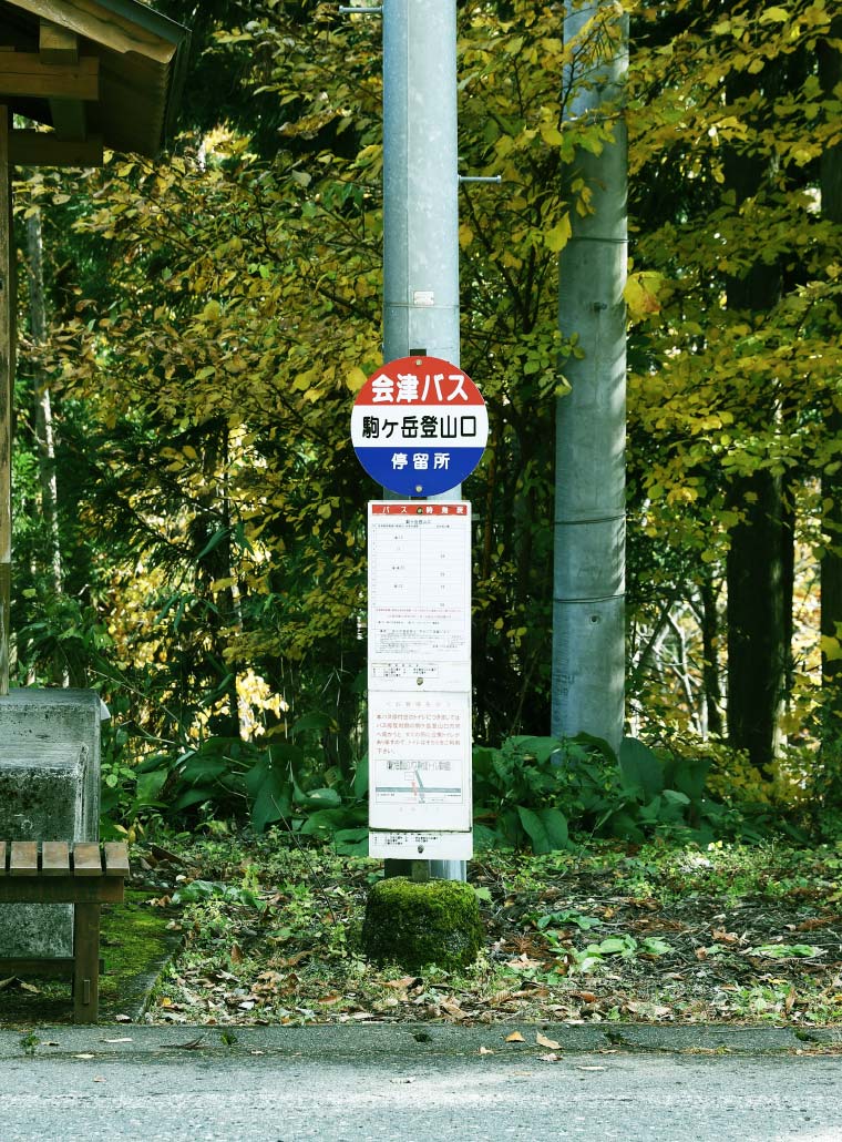
 About the trailhead

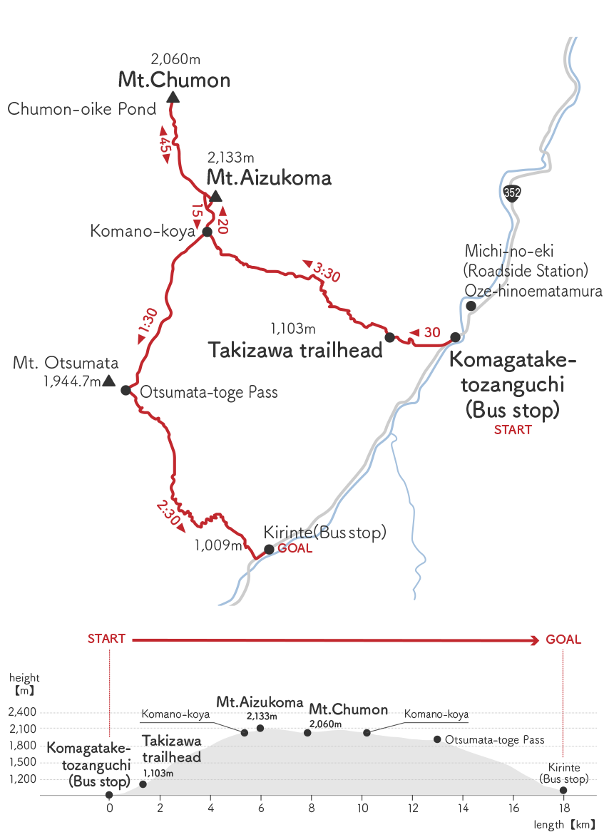
If you are coming to the mountain by bus, you can get off at the Komagatake Tozanguchi (Mt. Aizukoma trailhead bus stop) and take a shortcut through the forest trail to reach the Takizawa trailhead in about 30 minutes. If you are driving, there is a parking lot near the Takizawa trailhead, but the number of spaces is limited. The ground parking lot is recommended on weekends and public holidays. The same applies if you have a different starting point for the descent on this course.
It is relatively easy to enter the mountain area from Hinoemata Village, so it is no wonder the villagers are familiar with Mt. Aizukoma.

 A forest area with a steep ascent
The first 30 minutes from the Takizawa trailhead is a direct and steep climb. However, the beaten trail is easy to walk on, so take breaks and climb at your own pace. If you look up, you will see deciduous beech and horse chestnut trees covering the sky. It is a feast for the eyes during the season of fresh green and autumn leaves.
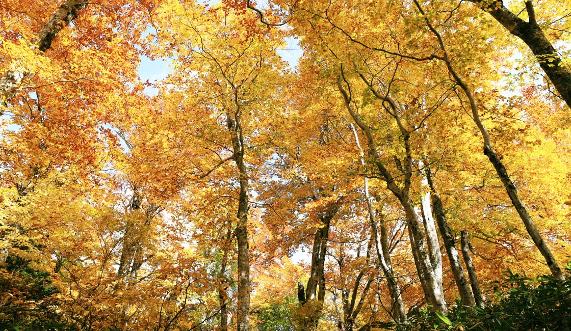
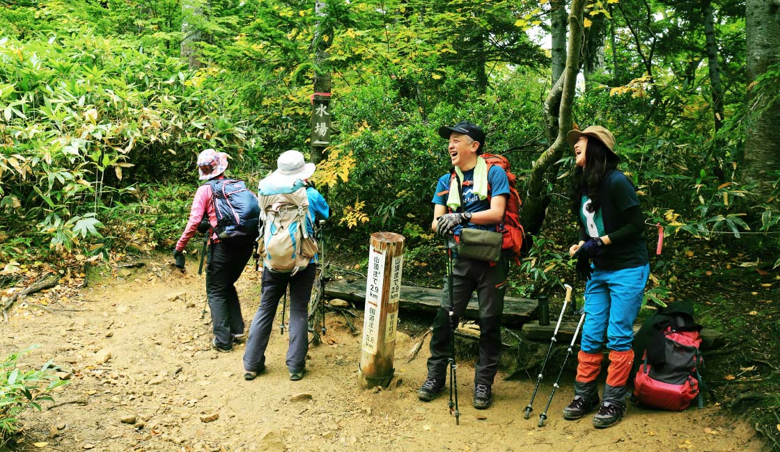

Once the steep ascent settles and after a brief climb, visitors will reach an open resting area with a water refill sign. The water refill place is about two minutes down the trail. From this point on, the trail enters a coniferous forest zone. The sky begins to show through the trees, and the ridgeline of Mt. Otozawa comes into view.
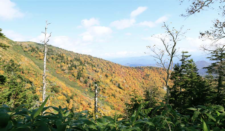
 The ridgeline of Sanchi Marsh
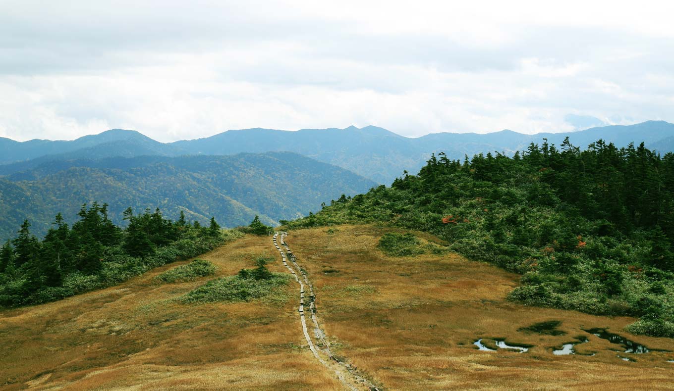
Once you reach the forest limits, the high marsh of Mt. Aizukoma begins. Keep to the right on the wooden trails. Be careful not to step into the marsh or prod your poles as you walk.
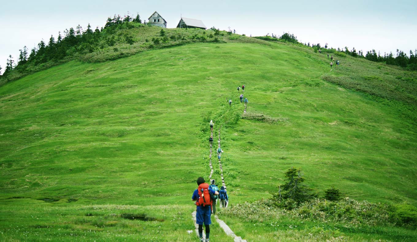
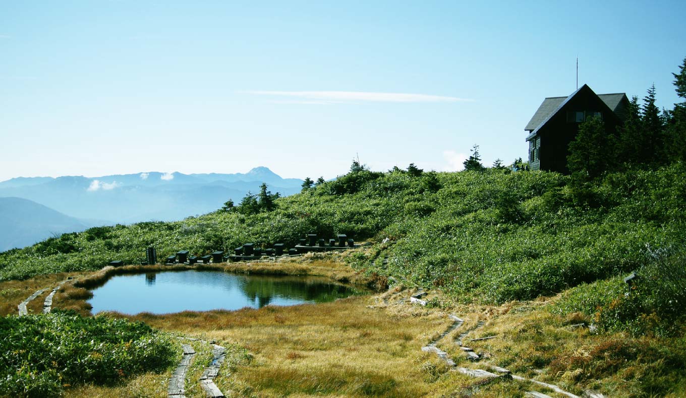
 Komanokoya Cabin and Koma-no-oike Pond
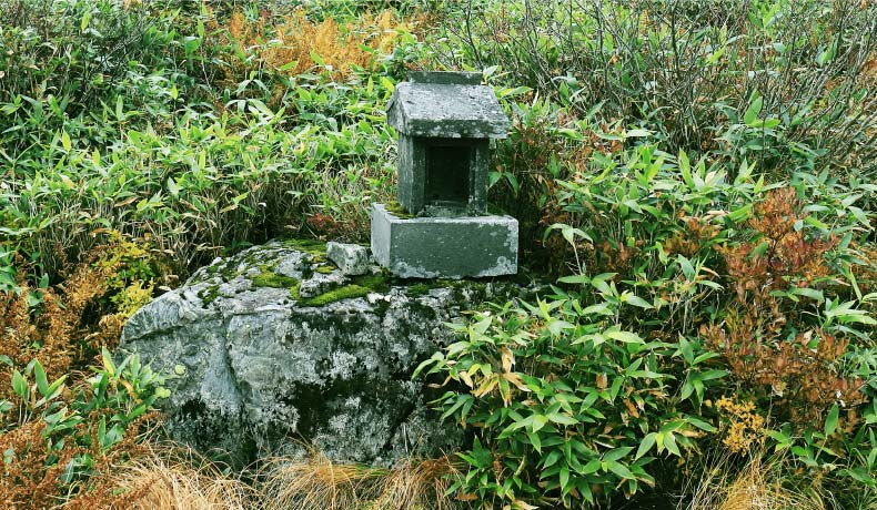
From the Mt. Aizukoma trailhead bus stop, it takes about four hours to reach Komanokoya Hut. Ikenotaira, where Komanokoya Hut and Koma-no-oike Pond are located, is one of the iconic points on this course. The Hakusanko-zakura (P.cuneifolia) are in full bloom around the end of the rainy season. There is also a shrine of Komagatake Daimyojin, the deity of Mt. Aizukoma by the pond.
 Mt. Aizukoma Summit
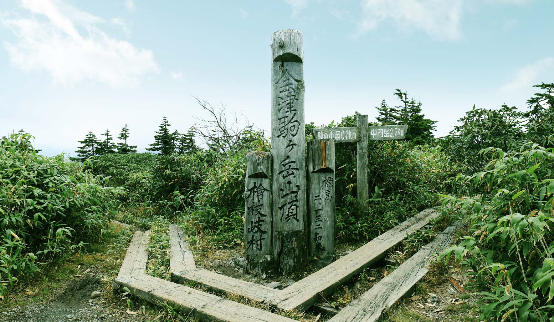
From Komanokoya Hut, it takes about 20 minutes to the summit of Mt. Aizukoma. There is no view because it is covered with bamboo leaves. When you go further, you will reach Mt. Chumon.

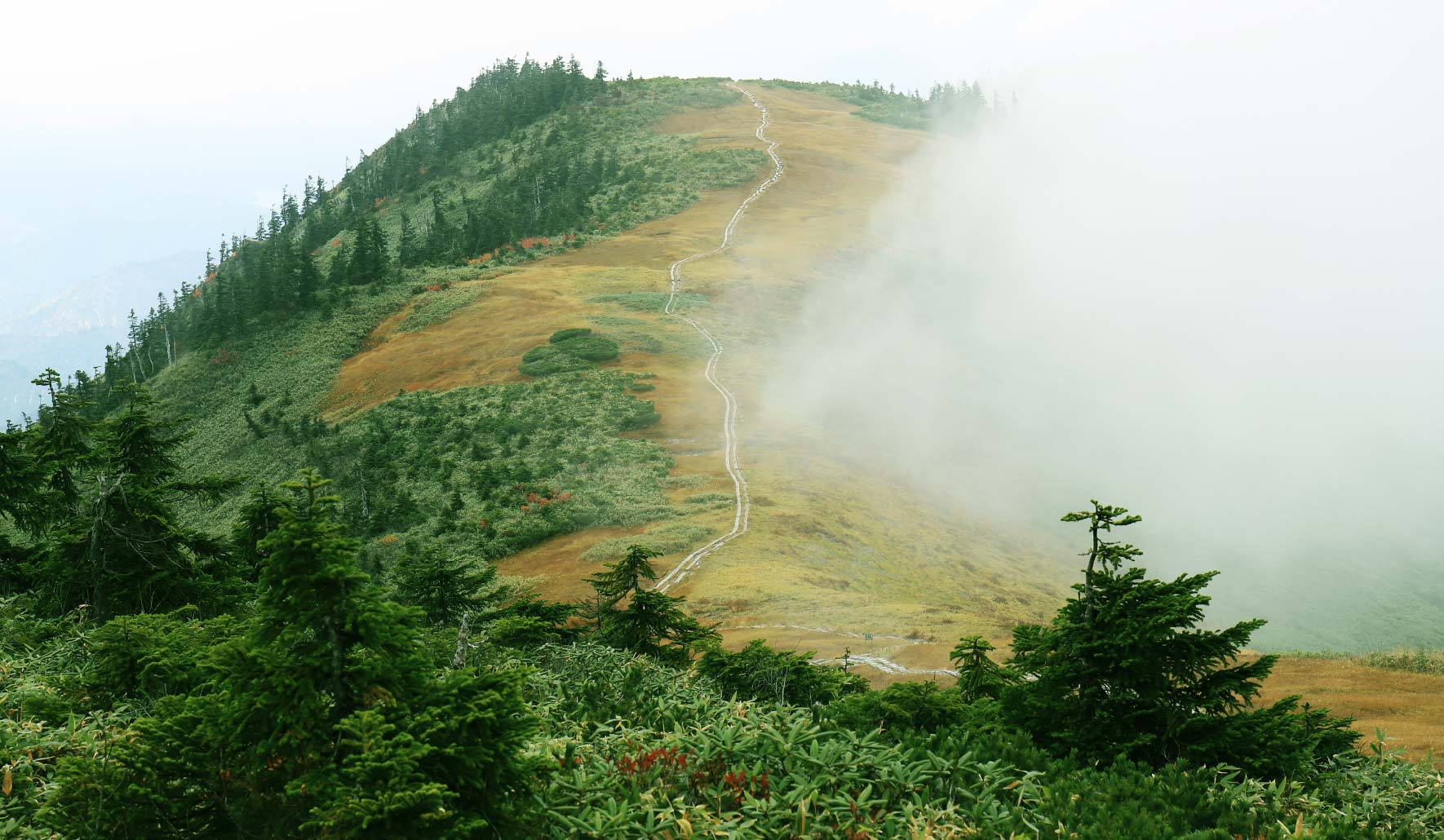
 Mt. Chumon
From the summit of Mt. Aizukoma to Mt. Chumon is a round trip of 1 hour and 30 minutes to 2 hours. The trail is gentle and undulating, but some parts of the wooden paths are broken, so walk with caution.
The ridgeline from the summit of Mt. Aizukoma to Mt. Chumon is the highlight of this course, which is suitably called "a heavenly paradise". A variety of alpine plants decorate the marshland and pond on the ridge.
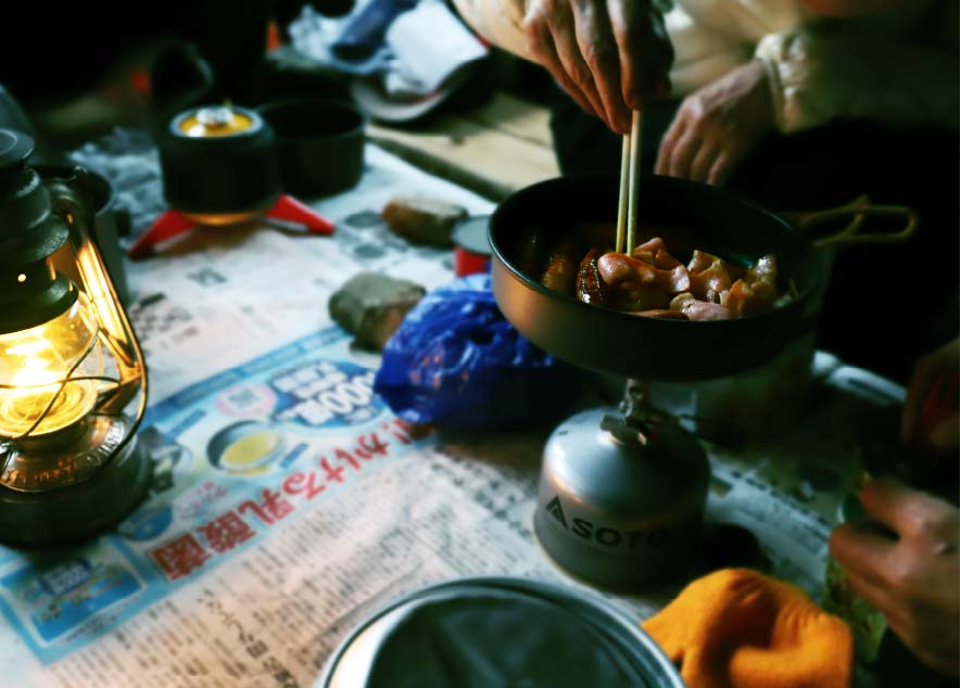

Food cannot be provided at Komanokoya Hut due to the facility, so making your own food is the standard. Many people look forward to this part, carrying food and cooking utensils as they enjoy the steep climb. It is easier to just eat ready-made meals or freeze-dried food, but why not bring meat and vegetables and try your hand at cooking on the mountain?
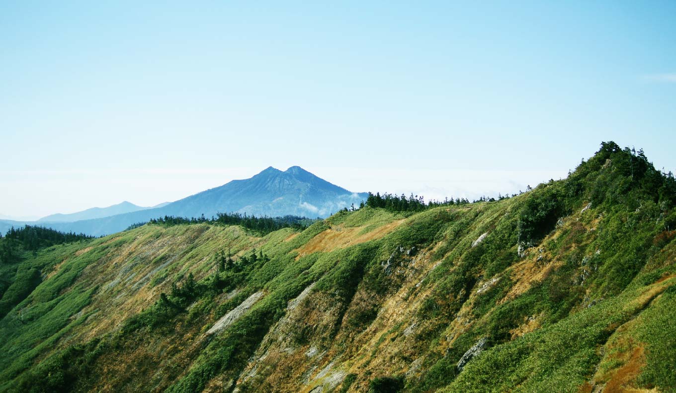
 From Fujimi-rindo Trail to Otsumata-toge Pass
The following day is a descent down the mountain on the Fujimi-rindo Trail. As the name suggests, Mt. Fuji can be seen in the distance behind Mt. Hiuchi if the weather is clear. There are no places for concern except for a narrow rock ridge zone right after the Komanokoya Hut. It will take about 1 hour and 30 minutes to reach Otsumata-toge Pass.

 Descent to Kirinte
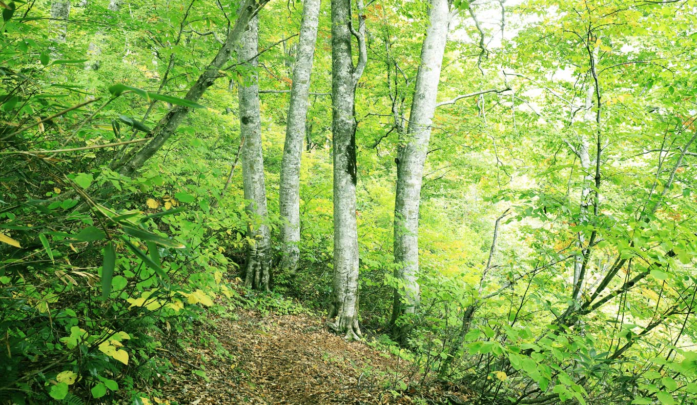
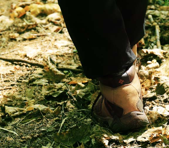
Descend 900 meters at once from Otsumata-toge Pass to the Kirinte trailhead. Although you may be concerned about your legs feeling tired, the trail is soft with fallen leaves and easy to walk on. It will be a comfortable descent while enjoying the forest of primeval beech and horse chestnut trees.

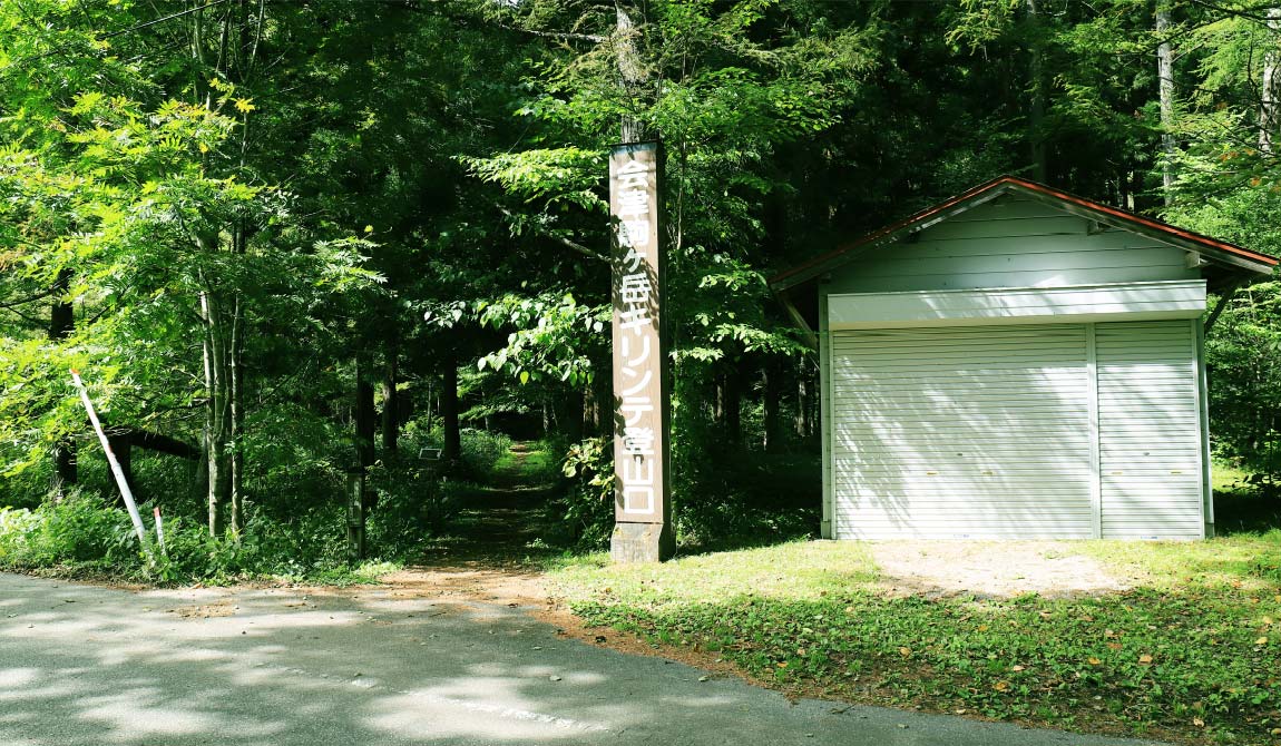
 The course entrance and exit are different.
This course is a traverse route that begins at the Takizawa trailhead and descends to the Kirinte trailhead. From Kirinte, visitors will have to take a bus, so check the bus schedule in advance. If you and your climbing party come in two cars, it would be convenient to park one car along the riverbank of the Ina River across the road.
